Why you need a guide book
When you’re preparing for your walk, you may wonder whether you need a guide book at all. After all, if you got an OS map that is going to help you keep to the trail, then why do you need a guide book as well? (Indeed, with the signage on the national trails is so good, you may wonder why you need to bother with a map too!)
The question is a fair one, I suppose, but only if you assume that the sole purpose of a guide book is to stop you from getting lost. But a cursory flick through any guide will show you that it’s a lot more than just a collection of maps.
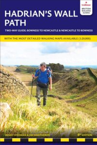
A decent guide book will not only tell you which way to go through a landscape, but what you can see in that landscape. To cite just one example, look at the Hadrian’s Wall Path. You can just walk from one end to the other, pick up your completion certificate from the pub at the end, and drive off home, completely ignorant of what you’ve just walked past. Or you can use the walk to learn a bit about the Wall itself. A decent guide book should tell you about the history of the Wall, what the Romans were doing in the north of England in the first place, why and how the Wall was built, and where much of it has gone. The book will also help you determine which stone wall is actually Roman in origin, and which bit of wall is just, well, a bit of old wall. Will tell you about the milecastles, forts, watchtowers and other ancient architecture on the way, what purpose they served, and their history since the Romans left.
A decent guide book will also point out the ‘quirky bits’; the initials, swastikas and phallic symbols carved into the Wall stones by those who manned the Wall; and the barns and B&Bs, churches and chapels, castles and coops that were built with stones appropriated from the Wall. And it should also provide a guide, preferably illustrated, to help you identify the fauna and flora – the birds and butterflies, trees and flowers – that you may encounter on the way.
None of this information may be considered vital – it will add so much to the enjoyment of any hike.
But a good guide book contains a wealth of practical information too, helping you to prepare by telling you, for example, when to go, what to wear, how to get there, how to stay safe on the trail, and how to minimise your impact on the environment. It’ll also provide you with some guidance on the day-to-day itinerary of the hike, and what walks to do if you don’t have the time, energy or inclination to complete the entire trail. And if the book is really comprehensive, it will also provide guides to the cities, towns and villages that you may come to along the way.
You’ll be luck to find any of that information on an OS map. And while it may be possible to find much of that information online, you won’t be able to find all of it, and that which you do find won’t be tailored specifically to the hiker – nor contained within one very handy, pocket-sized little book.
Why you need a Trailblazer guide book
Simply put, we think our books tick all the boxes above – and as such, a Trailblazer guide is superior to anything else. Here are just a few reasons why:
The guides to the popular trails are updated every two years – more frequently than any other guide.
As well as being instantly recognisable, our hand-drawn maps are accurate and useful. The scale we use, too, of 1:20,000, means they’re drawn at a larger scale than standard OS maps too. We also write clear directions to help you stay on the right path. Our readers find that, no matter how good their orienteering skills, these maps are much more useful than regular OS maps in helping them to keep to the path.
To save weight in your pocket, we write a lot of advice and information on the maps themselves – so you receive the right info at the point on the trail where it’s most useful and/or relevant.
The guides contain town and village plans – no other guide to the British long-distance trails has these. In addition, we also write information on what to see and where to go in a town or city, and how to get around it too. We also provide reviews to all the main places where you can eat and sleep, to help you choose the best places for you.
In addition to the route information, we also provide detailed advice on:
- What to wear, regardless of what season you’ll be walking
- When to go, based not just on the weather, but also on how busy the path will be, and when things open and close etc etc.
- Suggested itineraries, and details of shorter walks you can take if you don’t want to do the whole trail.
- A village and town facilities table in every guide, so you can see at a glance what you can find at each place along (or near) the route. Tourist offices, post offices, food stores, cashpoints (ATMs), hotels, hostels, campsites and restaurants – all are included on the table.
- Information on how to get to and from the trail by bus, train, coach and car, as well as comprehensive details – including maps – on the public transport serving the trail.
- Advice on how to stay safe on the trail, and how to follow the Countryside Code to minimise your impact on the environment.
- Estimates of how much your trip will cost, whether you plan to camp, stay in hostels or use B&Bs.
- Details of organisations, associations and charities that have some relevance to your trail.
- A guide to the flora and fauna you may see on the trail.
- Accounts of the history and geology of the path.
- Colour photos to give you an idea of what the trail will look like, what to look out for – and what are the prettiest places on the trail.
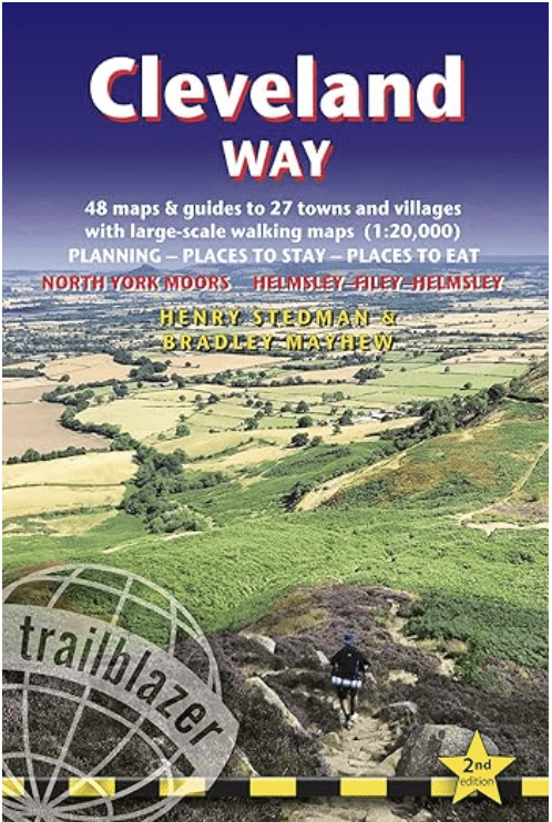
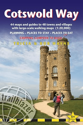
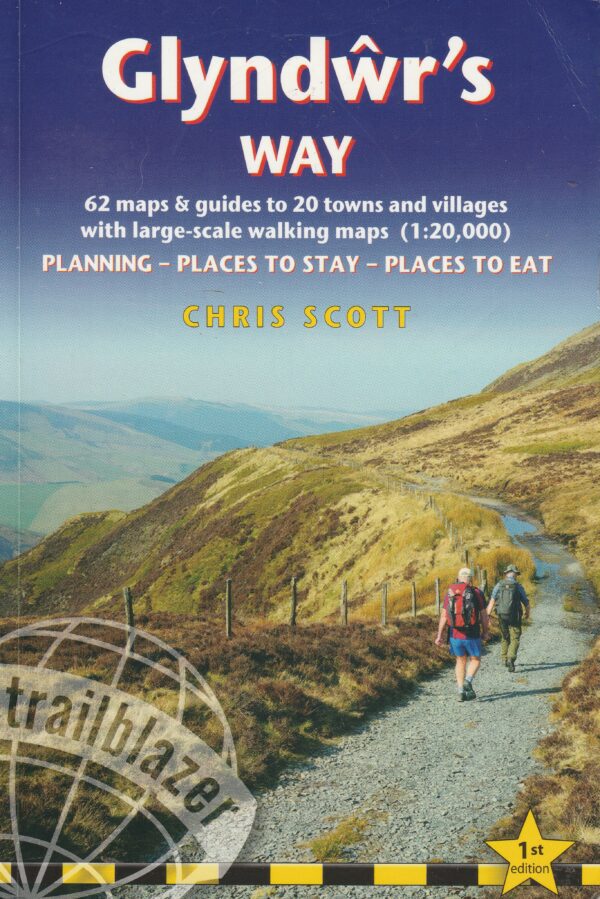
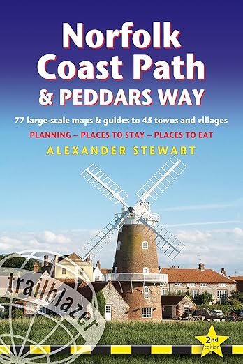
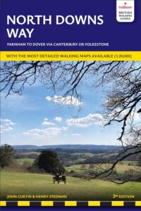
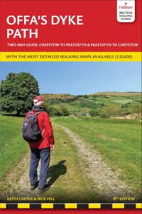
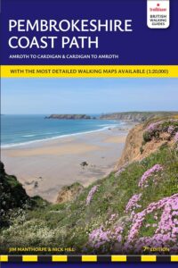
The Trailblazer guides to Britain’s best long-distance paths
The following images are the books in Trailblazer’s British walking guide series.
You can buy the books from Amazon. Click on the book you are interested in to take you to the relevant page on Amazon.
The books