
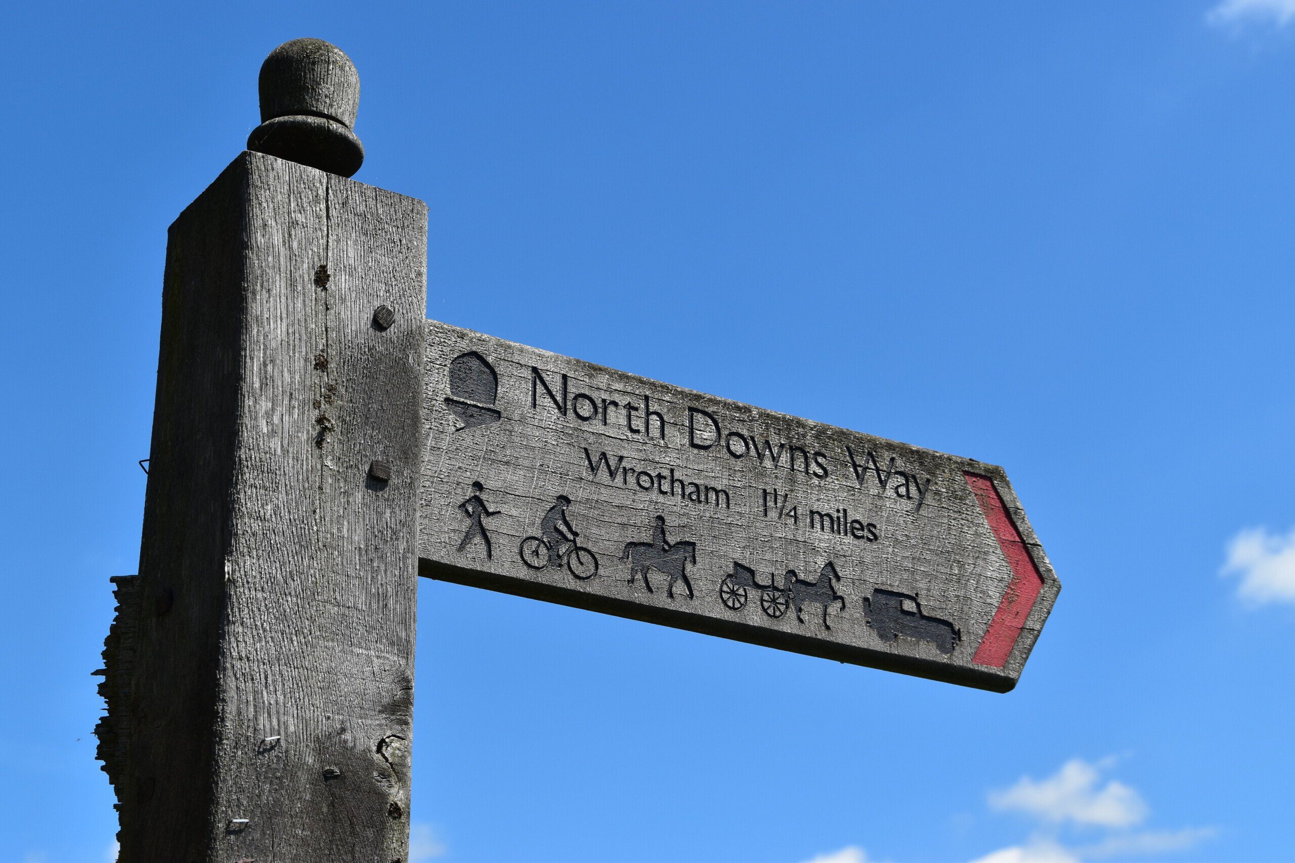
The North Downs Way
A surprisingly fascinating stroll through one of the country’s most populated corners
The North Downs Way: The Basics
WHERE IS THE PATH? From the heart of Surrey to the east Kent coast.
WHAT IS THE LENGTH OF THE NORTH DOWNS WAY? 136 miles (153 if the Alternative Route via Dover is included)
WHERE DOES THE NORTH DOWNS WAY START? Farnham, a fairly bustling, swanky market town in Surrey
AND WHERE DOES IT END? The historic, busy and rather run-down port of Dover.
HOW LONG DOES IT TAKE TO WALK THE NORTH DOWNS WAY? Between 10-14 days
IS IT A NATIONAL TRAIL? Yes
HOW HARD IS THE NORTH DOWNS WAY? Pretty straightforward. The walking has the occasional incline but nothing to make you reach for the smelling salts, and there are plenty of settlements with shops and transport links en route should you need a break.


Introduction
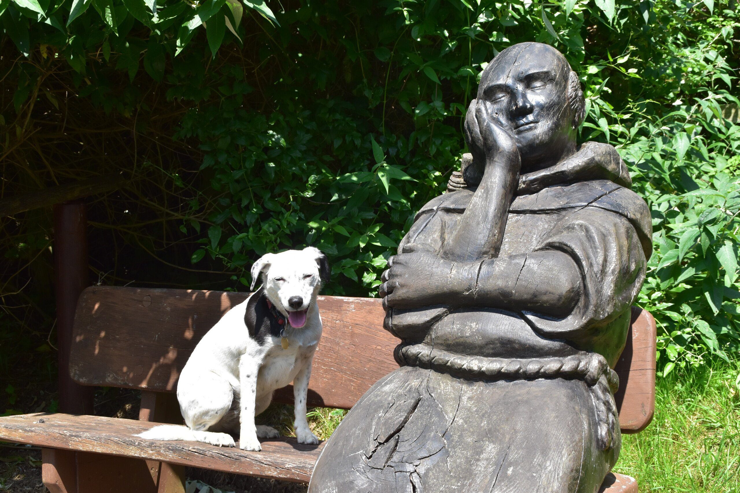
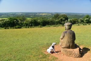
Pilgrim statue, near Hollingbourne
“I can assure those townsfolk who send forth a cry that wild nature and scenery are becoming difficult to find, that any amount of both still exists, within a short railway ride from London.” Denham Jordan, author of On Surrey Hills.
The first thing one tends to remember about the North Downs Way is the motorways. The M25, M20 and M2 – the trail stalks them, hugs them, goes over, under and around them, and generally stays within earshot of them for many, many miles. And we haven’t even mentioned the A roads that can be just as huge and noisy in this crowded corner of the country.
Now maybe I’m peculiar here, but I didn’t think this was necessarily a bad thing. I’m from round these parts (from Chatham, to be precise, not too far from the trail, and schooled in Rochester, which is very close). So I have travelled on these same roads many, many times; and each time I have looked out of the window at, to give just one example, the tree-topped ridge that runs alongside the M25, and I find myself thinking: I wonder what it’s like up there?
Well, this is the trail for doing just that: to explore what life is like in the quiet bits in between this web of motorways and A roads.
Is the North Downs Way for you?
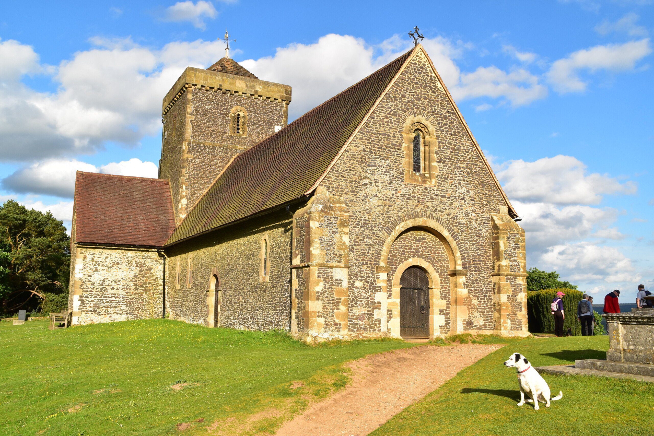
St Martha’s, a Norman church near Guildford.
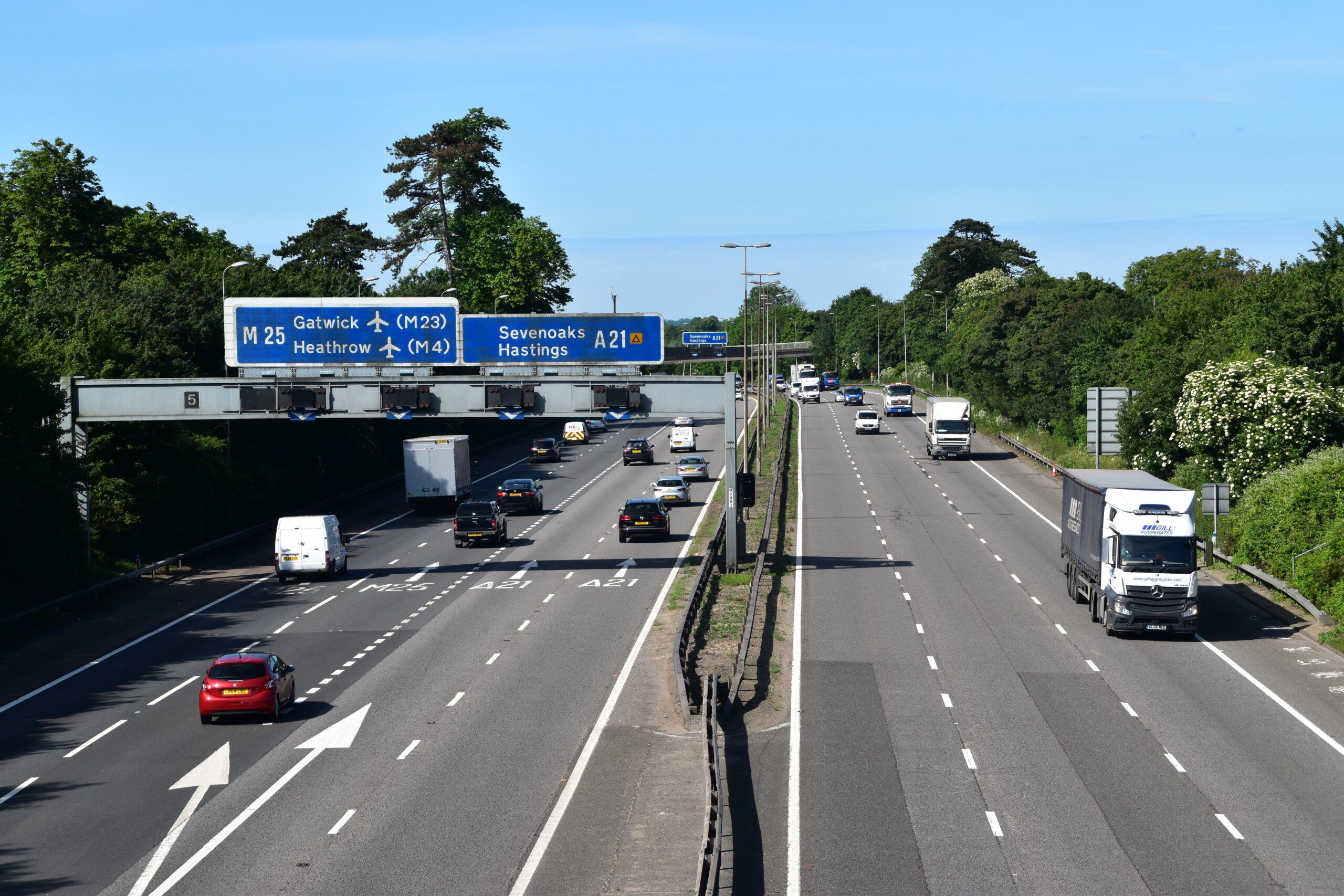
Crossing the M25.
Useful info for those walking the North Downs Way
Transport to and from the North Downs Way
Getting to Farnham is straightforward with services from Waterloo every thirty minutes. Services to London Victoria from Dover at the end of your trek are equally as frequent.
Transport along the North Downs Way
You are only ever an hour or two from London on the North Downs Way with convenient and frequent train services to Guildford, Dorking, Redhill, Merstham, Oxted, Otford, Rochester, Hollingbourne, Harrietsham, Lenham, Charing, Chilham, Canterbury, Bekesbourne and Shepherds Well (for Shepherdswell). Which is why I think a lot of Londoners who want to complete a walk in short stages will appreciate this trail. In addition there are plenty of bus services to convey you further along the trail (or back to where you started that day). The book goes into great detail on all the current bus and train services but do check online to make sure the services are still in operation.
Walking the North Downs Way with a dog

A Daisy among poppies
Daisy had a whale of a time on the North Downs Way. The vast stretches of woodland and open countryside – and the lack of much in the way of livestock – meant she could spend most of her time off the leash. For everyone’s peace of mind I made sure she was on the lead again before I got to a road (Daisy has been taught to never go through a fence, gate, stile etc before I get there, and sometimes she even obeys me, which is a great blessing). There were a few other dog walkers on the trail – not a huge number, and no more than you’d encounter elsewhere. I was also pleasantly surprised by a number of pubs that not only accepted dogs but actually made them feel very welcome, with blankets, water and dog treats. Anybody would think that she was the one that was paying. The Weyside in Guildford – the first pub you come to when leaving the path at the River Wey – was notable for this but there were several others.
As there is a lot of woodland, rather than carry bags of poo everywhere may I suggest the ‘stick & flick’ approach, ie grab a nearby stick and flick your dog’s poo off the path and into the trees (making sure first, of course, that there is nobody standing in the trees where you’re aiming).
Our usual advice about warning any B&Bs well in advance that you are bringing a dog is relevant here too, even though, in my experience at least, there are very few people who walk the trail in one go. (Speaking with the B&B owners while updating the book, most of them said that they don’t get many guests who are walking the North Downs Way. Indeed, one or two of them didn’t even know that the North Downs Way was nearby!)
Remember to visit the following page for more details on walking with your dog.
The only place where you may have a slight problem sticking to the trail is actually right at the end when you enter into Dover; for once the signposts disappear and you’re left to find your own way to Market Square. Similarly, from the square I could see no sign telling us to continue on to the seafront (indeed, the first time I completed the Way I didn’t realise I was supposed to go to the sea! It was only when completing the Way’s Alternative Route that I ambled along the seafront and stumbled on the official end of the trail.)
Of course, I don’t recommend relying on signposts alone – a map or, even better, my guide book(!) will be essential too. Take one or both of these and you’ll be fine and free to enjoy the views, safe in the knowledge that you’re on the right path.
Camping and accommodation along the North Downs Way
This section might well be redundant, for few people in my experience attempt the North Downs Way in one go. But there are enough B&Bs around for those who do want to stay on the Way. What there aren’t enough of is campsites, so those looking to camp every night will have to be creative, perhaps by contacting local landowners to see if they’ll allow you to stay.
Facilities along the North Downs Way

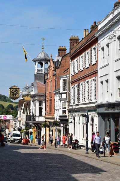
Guildford High Street
Food and drink There are so many big towns near the Way that finding somewhere to eat is never a problem, as long as you are prepared to walk down off the trail to the town to get it. If you don’t fancy doing that then, as long as you are patient and plan ahead and aren’t too fussy where or what you eat, there are also plenty of places actually on the trail where you can find something. Three places that stick in the mind are: the National Trust cafe at the top of Box Hill; the Junction 8 food shack in the car park on Reigate Hill; and the cafe on the top floor of the Battle of Britain Memorial at Capel-le-Ferne, on the alternative last stage to Dover.
The one stage where you may have difficulty finding something to snack on is on the last stage between Canterbury and Dover. The only possible place is Shepherdswell, about halfway along, which has a pub. If they’re not doing food then you’ll have to walk for five minutes down the hill to the Coop and pick up something there.
Shops, post offices and ATMs It always pays to carry a bit of money with you just in case, and while there are plenty of cash machines off the trail, sometimes there aren’t so many on it and occasionally some of them aren’t working anyway; I always make sure I have £50 on me, just in case. That said, most places on the route seem to accept card payments, though many of the smaller B&Bs/campsites may not. There are shops aplenty too, and in the big towns you should find a trekking store too.
Trekking companies and baggage carriers I could only find three walking companies that offer self-guided tours (including luggage transfers) on the trail. Presumably, because most people are doing it in day trips from London they’ve not packed much, so there isn’t much demand for heavy bags to be conveyed along the path. The three companies are: Contours Walking Holidays ; Macs Adventure and Walk Awhile .
Dangers and annoyances
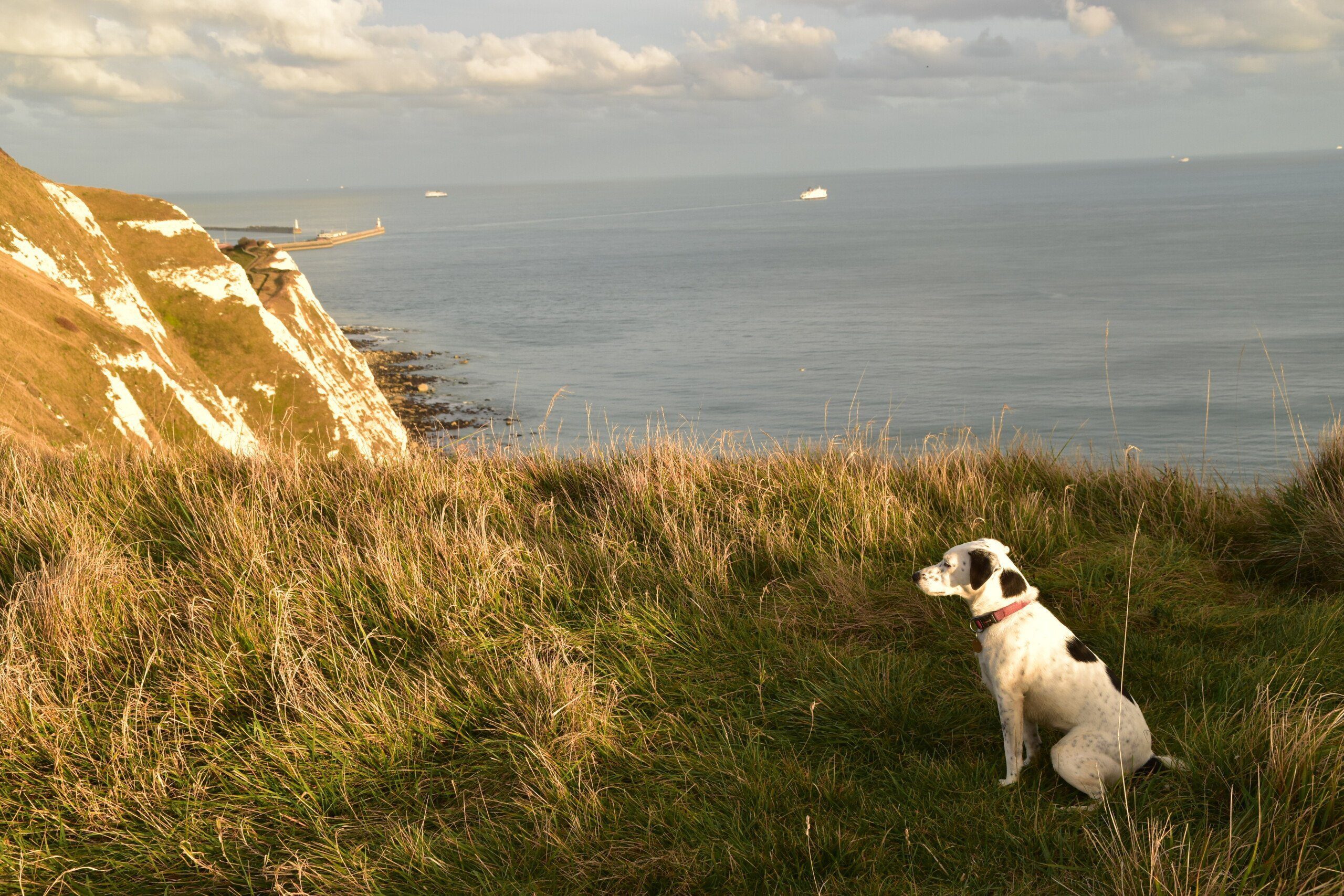
On the White Cliffs of Dover, on the North Downs Way’s Alternative Route
There’s little danger on the North Downs Way. I suppose there is the odd steep slope to consider but for a sheer drop you’d have to go a fair way off the trail and probably hack through a lot of thick gorse and bramble bushes to get to it. The exception to this is those taking the Alternative Route to Dover that misses out on Canterbury; it’s a lovely walk and I highly recommend it but there are some sheer drops.
Though there are plenty of roads the North Downs Way tends to either cross over them on a bridge or goes under them through a tunnel; so again, you’d really have to go out of your way to put yourself in any danger there. I do remember a couple of place where you have to have your wits about you – the first is the roundabout just after Wrotham, and the second one is the road crossing just before you join the motorway bridge across the Medway. But other than that the most dangerous roads are probably the many country lanes you have to negotiate, and the reason they’re dangerous is because they are so quiet normally, so any traffic becomes rather unexpected.
Finally, the town of Dover, at the end of the walk, is a bit seedy; I didn’t feel particularly threatened though in the two hours I was there I saw one fight and, separately, two people being arrested. There’s lots to see and do in Dover and I don’t want to put the place down – but maybe don’t hang around too long after dark.
Tips and hints
1) Most people will want to do the popular version of the trail via Canterbury. That’s understandable and in addition to the home of Christianity in England, you also get to see the village of Chilham, the prettiest on the route, too. But if you come to the end of your North Downs Way odyssey but don’t want it to finish, do have a look at the Alternative Route, which separates off the main trail at Boughton Lees. It’s a lovely walk that ends with a stroll along the White Cliffs of Dover. What could be better than that?
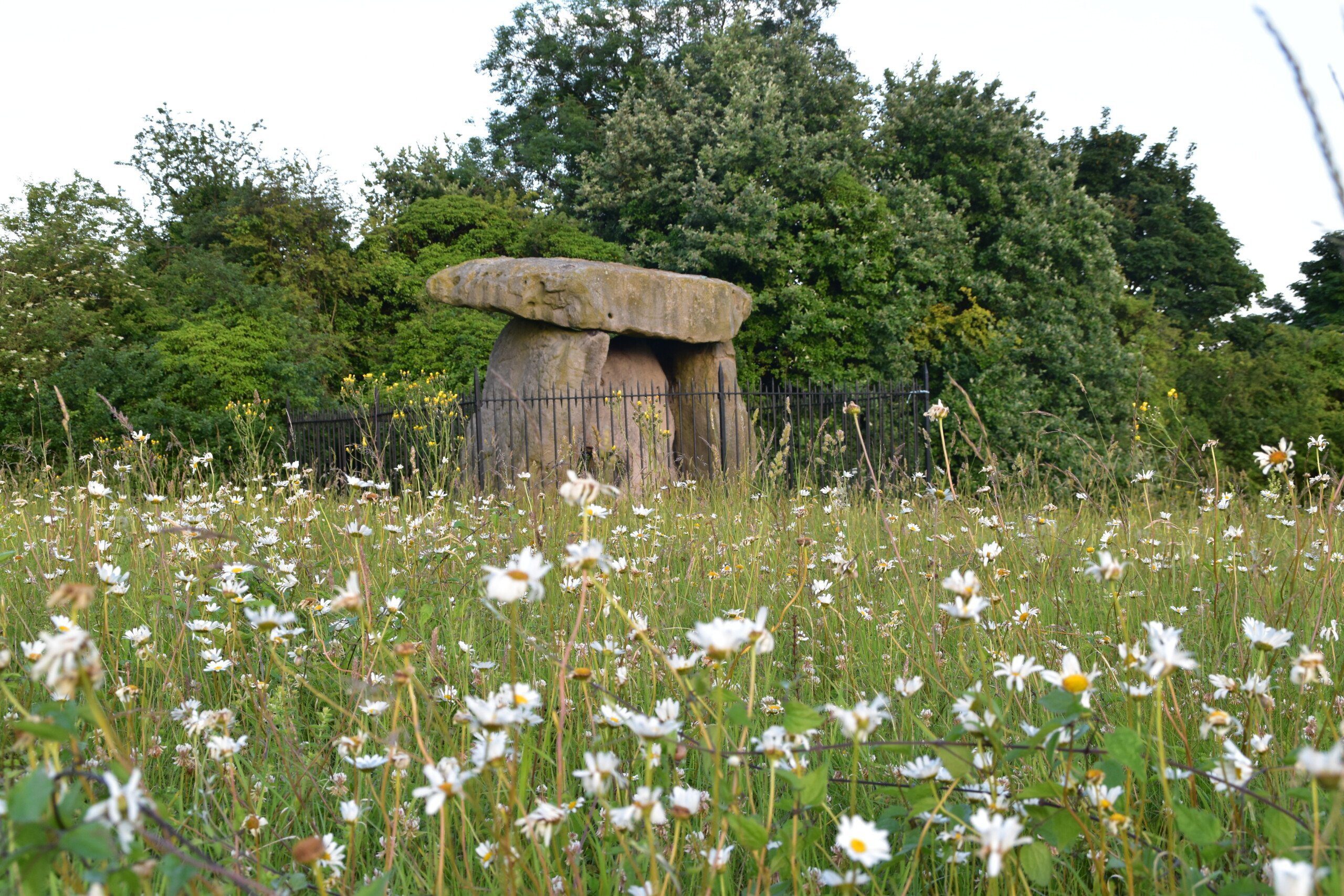
Kit’s Coty, just past Bluebell Hill
2) Reached the point on the North Downs Way where you can turn off the trail to see the Neolithic Coldrum Stones, but not sure you can be bothered to walk the extra few hundred metres to get there? Do – I think it’s really worth it. And do look out for those other Neolithic sites, Kit’s Coty and Little Kit’s Coty; they’re both close to the path (the former is right next to it) but easy to miss if you’re not concentrating. Little Kit’s Coty in particular is missed by most people as it’s hidden behind a screen of trees. Pay close attention to the maps in the guide (I’m not sure if they’re even clearly marked on the OS map) so you don’t walk right past them.
3) I know I emphasise that this trail is excellent if you want to complete it bit by bit, but nothing, in my opinion, beats trying to complete a long-distance trail in one go. It becomes quite a different animal then, and does make it more like a pilgrimage – which, after all, is what most people have used this trail for down the centuries.
The North Downs Way: Further info
- Official National Trail page on the North Downs Way
- Wikipedia write-up of the North Downs Way
- Online guide to the North Downs Way, provenance unknown but still good.
The North Downs Way Guide!

‘Trailblazer really have got it right with their route maps. They rival Wainwright’s mapping for accuracy and detail and if anything are actually easier on the eye to read.’ Backpack magazine, Winter 2016
‘Recommended’ Country Walking
Practical, all-in-one Trailblazer British Walking Guide to the North Downs Way. A National Trail, the North Downs Way winds its way through the protected landscape of two Areas of Outstanding Natural Beauty, the Surrey Hills and the Kent Downs. The path passes medieval churches, castles, Neolithic burial sites, vineyards and numerous WWII defences. There are literary associations with Swift, Cobbett, Dickens and Jane Austen.
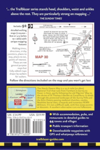
*Includes 84 walking maps the largest-scale maps available At a scale of just under 1:20,000 (8cm or 31/8 inches to one mile) these are bigger than the most detailed walking maps currently available in the shops.
* Accommodation for all budgets – campsites, hostels, B&Bs, guesthouses, pubs and hotels with reviews.
* Places to eat – cafes, tearooms, pubs, takeaways and restaurants with reviews.
* Detailed public transport information for all access points on the path.
* Itineraries for all walkers – for the entire route or weekend and day walks.
* Downloadable GPS waypoints also available on the Trailblazer website.
* Colour overview and stage maps (one stage per page) with trail profiles (showing ascents and descents).
* Walking with a dog: Henry Stedman, the co-author, was accompanied along the North Downs Way by his dog, Daisy.
Buy the book:
To buy the book from Amazon, please click the link below: